In Kenya, scientists are using satellite mapping technology to map watercourses where snails reside as well as their migration patterns.
Scientists using satellite data to combat snail disease
In Kenya, scientists are using satellite mapping technology to map watercourses where snails reside as well as their migration patterns.
The data is then being used to map the high-risk locations where human populations exist that would be susceptible to diseases such as schistosomiasis that can have a debilitating impact on humans.
Similar work is being done on mosquito populations and associated risks to human populations.
The information is being used by health organizations to predict where disease and infections are likely to occur and helping those organizations place resources where they will do the most good.
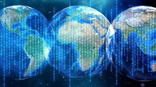
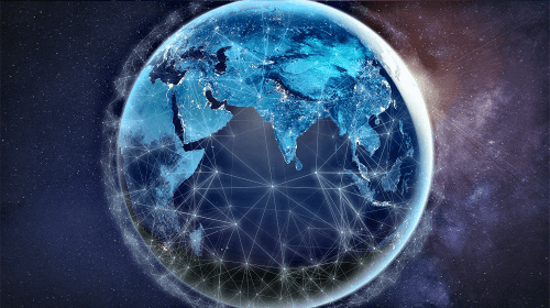
The emerging field of spatial epidemiology is benefiting from a glut of information now available from orbiting satellites.
Professor Uriel Kitron from Emory University in Atlanta says the satellite data is making a difference for health organizations with limited resources.
“If we can help them target the resources in space and time, that is a huge service we can do,” said Kitron.
Ken Linthicum of the U.S. Department of Agriculture says his agency is using satellite data to forecast risks of malaria, dengue fever, chikungunya and the Rift Valley virus.
“The key is understanding the ecology and transmission dynamics of the disease beforehand,” said Linthicum. “You have to know what’s going on with the disease. In the case of Rift Valley fever, we discovered that it was heavy rainfall that floods habitats, producing the hatch of mosquito eggs that produce the virus. In the case of chikungunya or dengue in Africa, for example, its drought conditions that enhance mosquito-breeding habitats near people and then the high temperatures that boost transmission in the mosquito,” he added.